Austin, Texas
Southwest Austin
Hill country space, city convenience
Southwest Austin runs from the Barton Creek Greenbelt out past Oak Hill toward Dripping Springs, framed by Mopac, Highway 290 and Brodie Lane.
Housing is newer than central Austin: 1990s and 2000s family homes, master-planned communities with pools and trail systems, and custom builds on wooded acreage the further west you go.
Buyers come for square footage, yard space and schools, and stay for greenbelt access that is genuinely at the end of the street.
More home
per dollar
Greenbelt
and trail access
Master-planned
amenity communities
Live from Unlock MLS
Homes for Sale in Southwest Austin
1,049 active listings
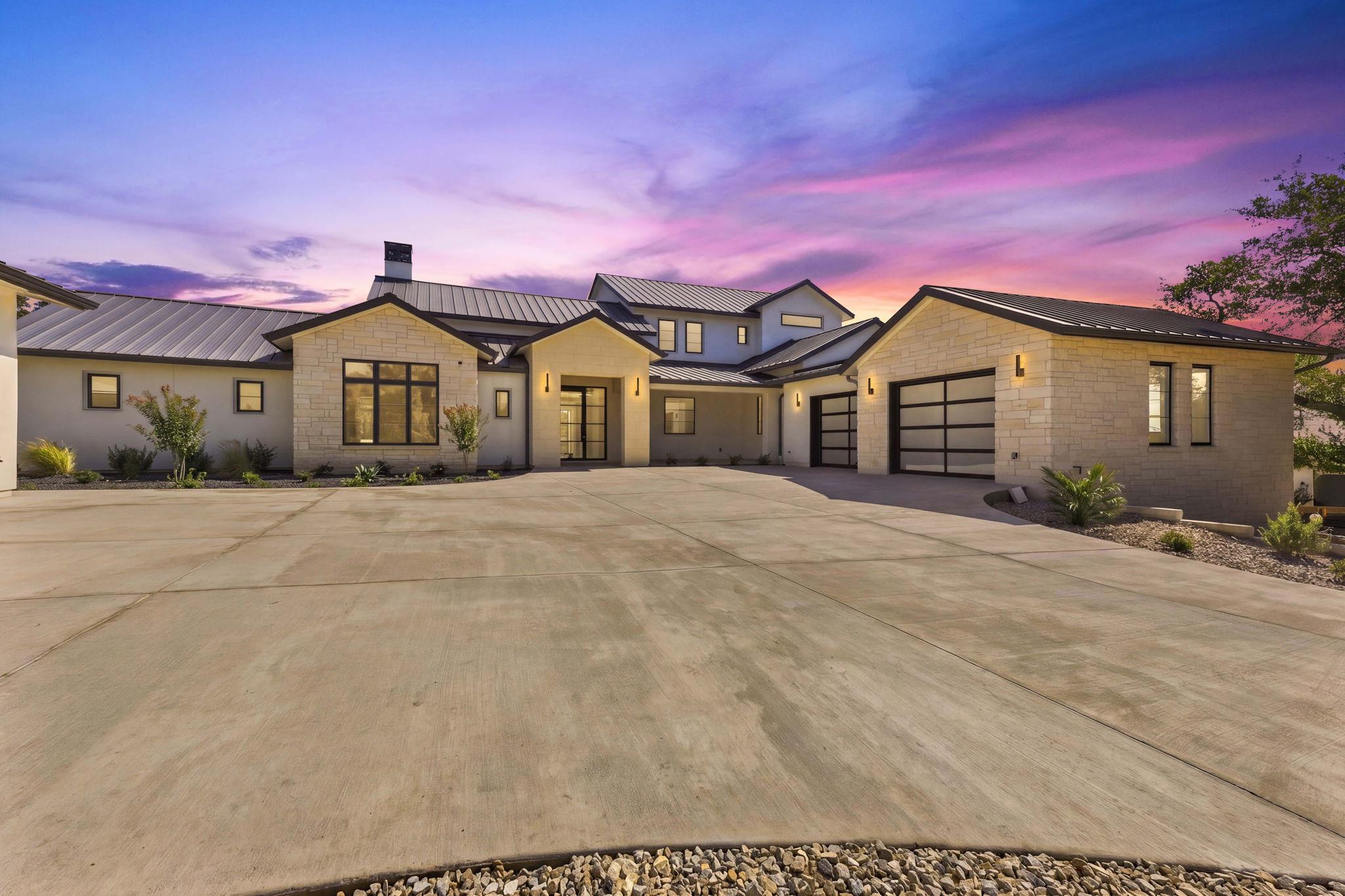
$3,995,000
8317 CARRANZO Dr
Austin, TX, 78735
4 Beds · 5 Baths · 4,150 SF
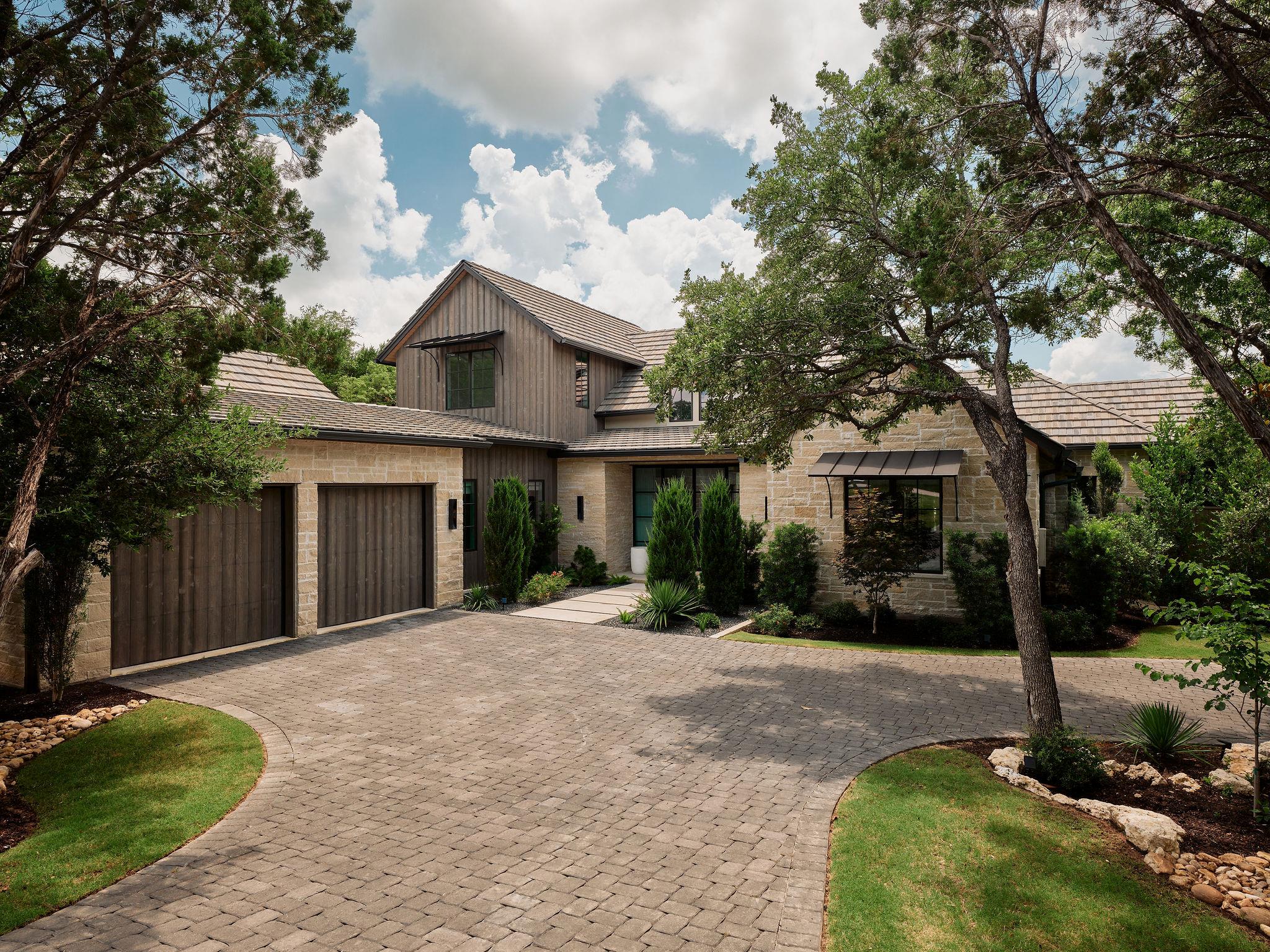
$3,849,000
4401 Amarra Dr #17
Austin, TX, 78735
4 Beds · 5 Baths · 4,136 SF
 Active
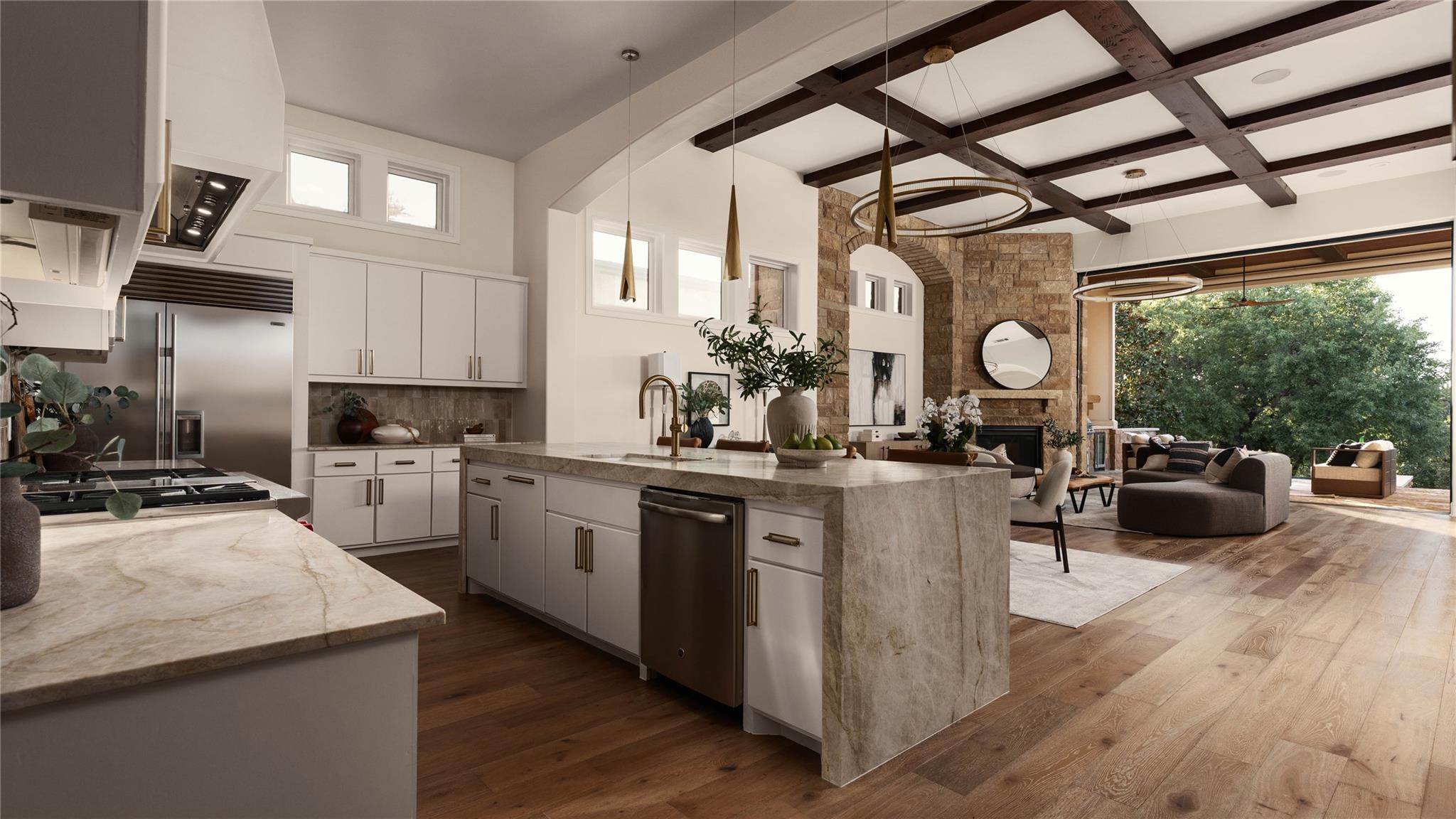
$3,699,950
4320 Amarra Dr
Austin, TX, 78735
3 Beds · 4 Baths · 3,383 SF
 Active
$3,625,000
8320 Carranzo Dr
Austin, TX, 78735
3 Beds · 4 Baths · 3,764 SF
$3,449,000
244 Zonetail Cv
Austin, TX, 78737
5 Beds · 5 Baths · 4,626 SF
$3,442,281
10500 W SH 71 None #909
Austin, TX, 78736
2 Beds · 3 Baths · 1,867 SF
$3,300,000
6203 Brodie Ln
Sunset Valley, TX, 78745
3 Beds · 2 Baths
$3,295,000
11029 Arroyo Canyon Dr
Austin, TX, 78736
4 Beds · 5 Baths · 5,150 SF
$3,290,000
11600 Crumley Ranch Rd
Dripping Springs, TX, 78736
0 Beds · 0 Baths
Listing information is provided by Unlock MLS and is deemed reliable but not guaranteed.
Neighborhoods
The Southwest Austin neighborhoods buyers ask about most.
Neighborhood
Circle C Ranch
Southwest Austin's flagship master-planned community
View guide →Neighborhood
Oak Hill
Wooded lots at the Y in Oak Hill
View guide →Neighborhood
Shady Hollow
Mature trees and a long-standing community feel
View guide →Neighborhood
Travis Country
Greenbelt living minutes from Zilker
View guide →Neighborhood
Western Oaks
Established value between Brodie and Mopac
View guide →Living here
Schools, Dining & Things To Do
Distances are approximate from the center of Southwest Austin. School attendance zones change — always confirm the assigned campus for a specific address.
Schools
Kiker & Clayton Elementary (AISD)
≈ 1-3 miServe Circle C and Western Oaks
Gorzycki Middle School (AISD)
≈ 2 miSouthwest Austin campus
Bowie High School (AISD)
≈ 4 miLargest southwest AISD high school
Eat & Drink
Circle C & Escarpment Village
≈ 1-2 miEveryday dining and grocery clusters
Brodie Lane corridor
≈ 3 miRestaurants, coffee and retail
Austin Pizza Garden (Oak Hill)
≈ 4 miHistoric stone building at the Y
Things To Do
Violet Crown Trail
≈ 1 miThirteen-mile trail from the greenbelt south
Dick Nichols District Park
≈ 2 miPool, trails and sports fields
Lady Bird Johnson Wildflower Center
≈ 3 miGardens and native plant trails
Search by neighborhood