Austin, Texas
Central Austin
Historic streets inside the core
Central Austin runs roughly from the river north past the University of Texas to Highway 183, and from Mopac east to I-35. It holds the city's densest concentration of historic districts.
Housing is a mix of preserved craftsman and tudor homes, sensitive renovations and a growing number of condo and small-lot projects along the Lamar and Burnet corridors.
Because the land is fully built out, supply is naturally limited and well-renovated homes here tend to hold value through slower cycles.
Inside the loop
core location
Historic
districts protected
Limited
supply, built-out land
Live from Unlock MLS
Homes for Sale in Central Austin
988 active listings
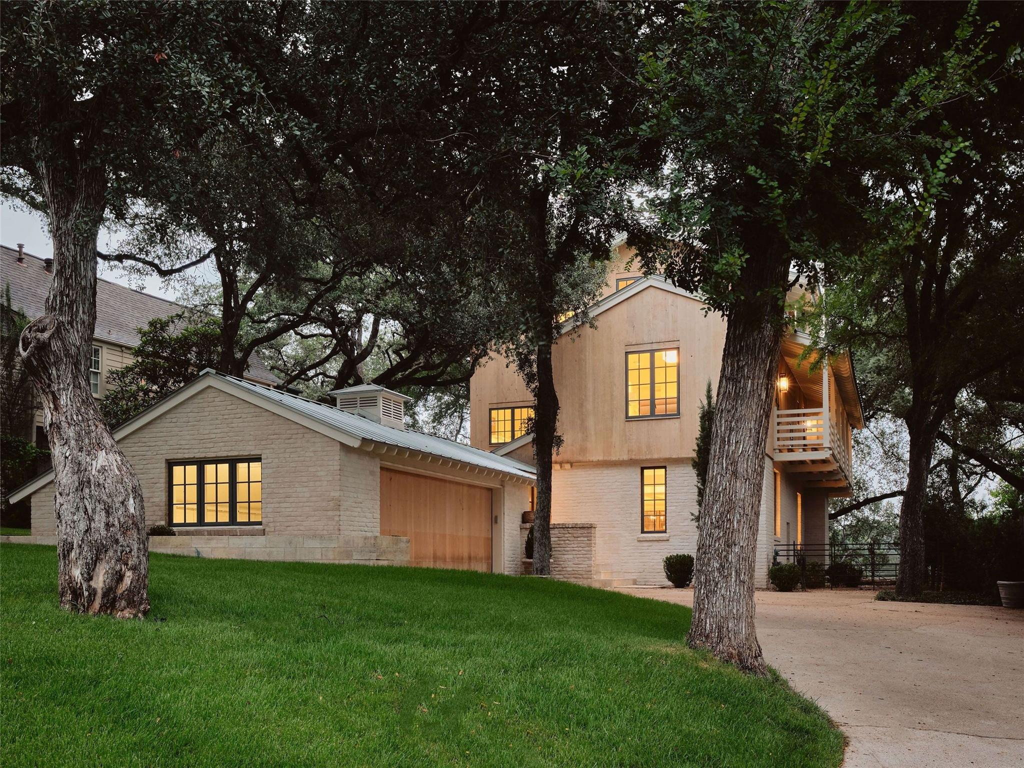
$1,999,000
3309 Stardust Dr
Austin, TX, 78757
5 Beds · 4 Baths · 2,804 SF
 Active
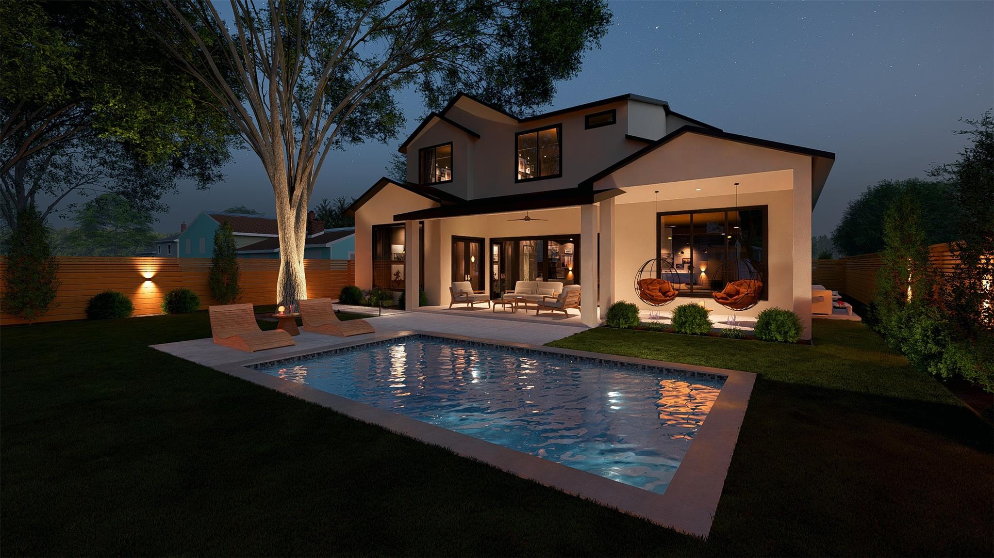
$1,998,500
1521 Madison Ave
Austin, TX, 78757
5 Beds · 5 Baths · 3,281 SF
 Active
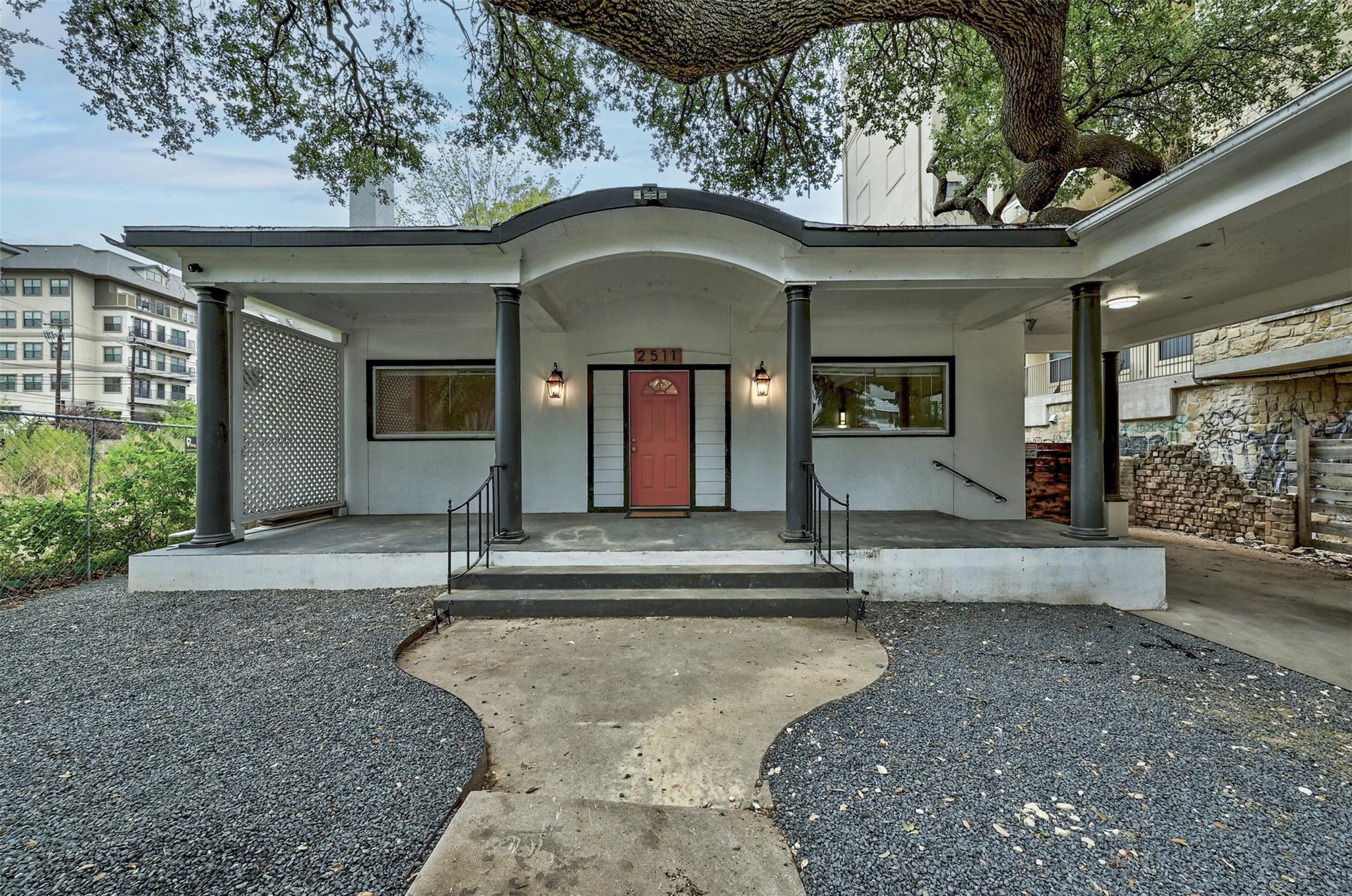
$1,995,000
2511 San Gabriel St
Austin, TX, 78705
9 Beds · 4 Baths · 3,142 SF
$1,995,000
2703 McCullough St
Austin, TX, 78703
5 Beds · 4 Baths · 3,744 SF
$1,995,000
4515 and 4517 Avenue D None
Austin, TX, 78751
4 Beds · 4 Baths · 3,304 SF
 Active
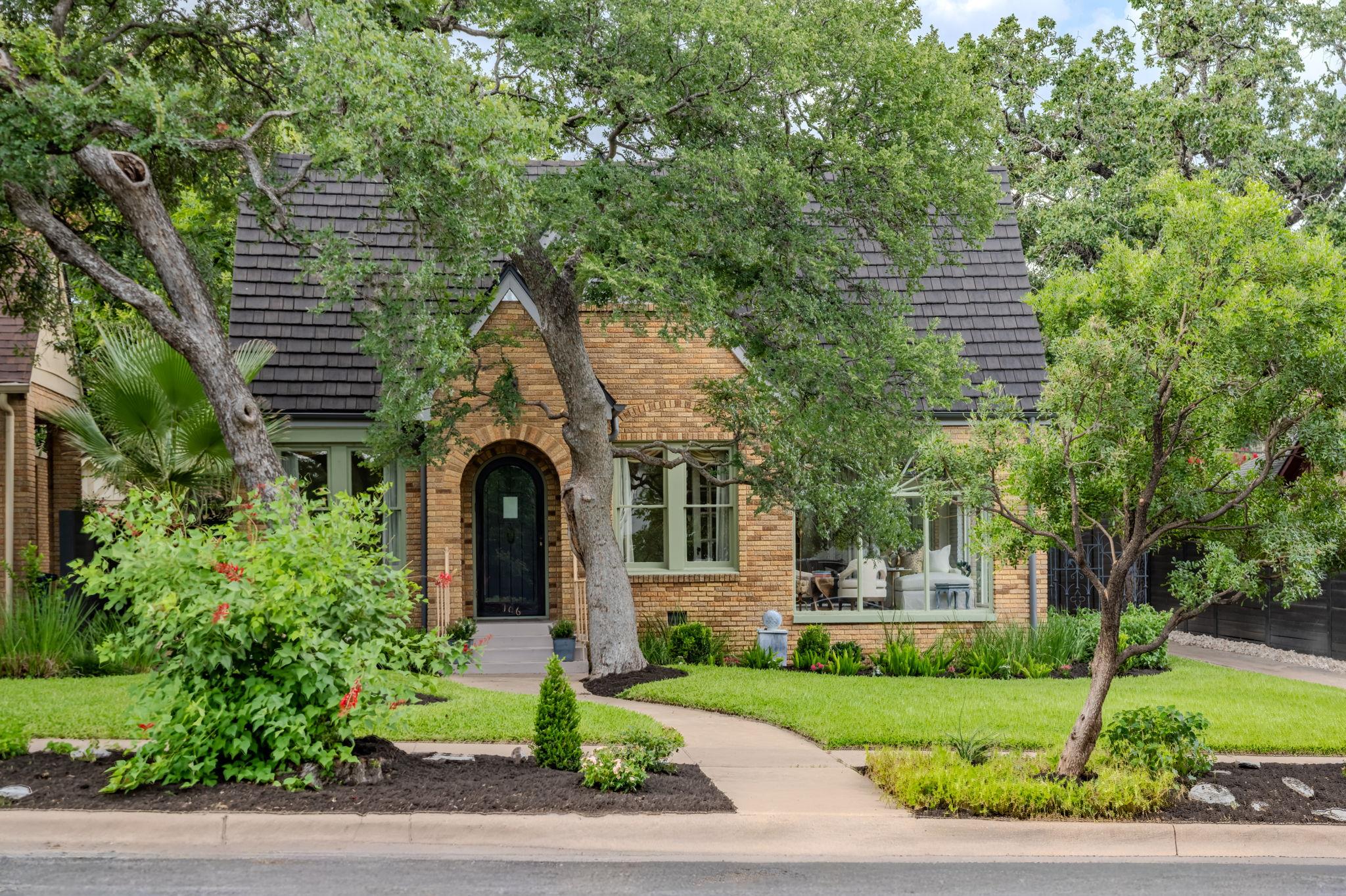
$1,995,000
106 Laurel Ln
Austin, TX, 78705
3 Beds · 2 Baths · 2,358 SF
$1,985,000
4304 Shoalwood Ave
Austin, TX, 78756
3 Beds · 4 Baths · 2,604 SF
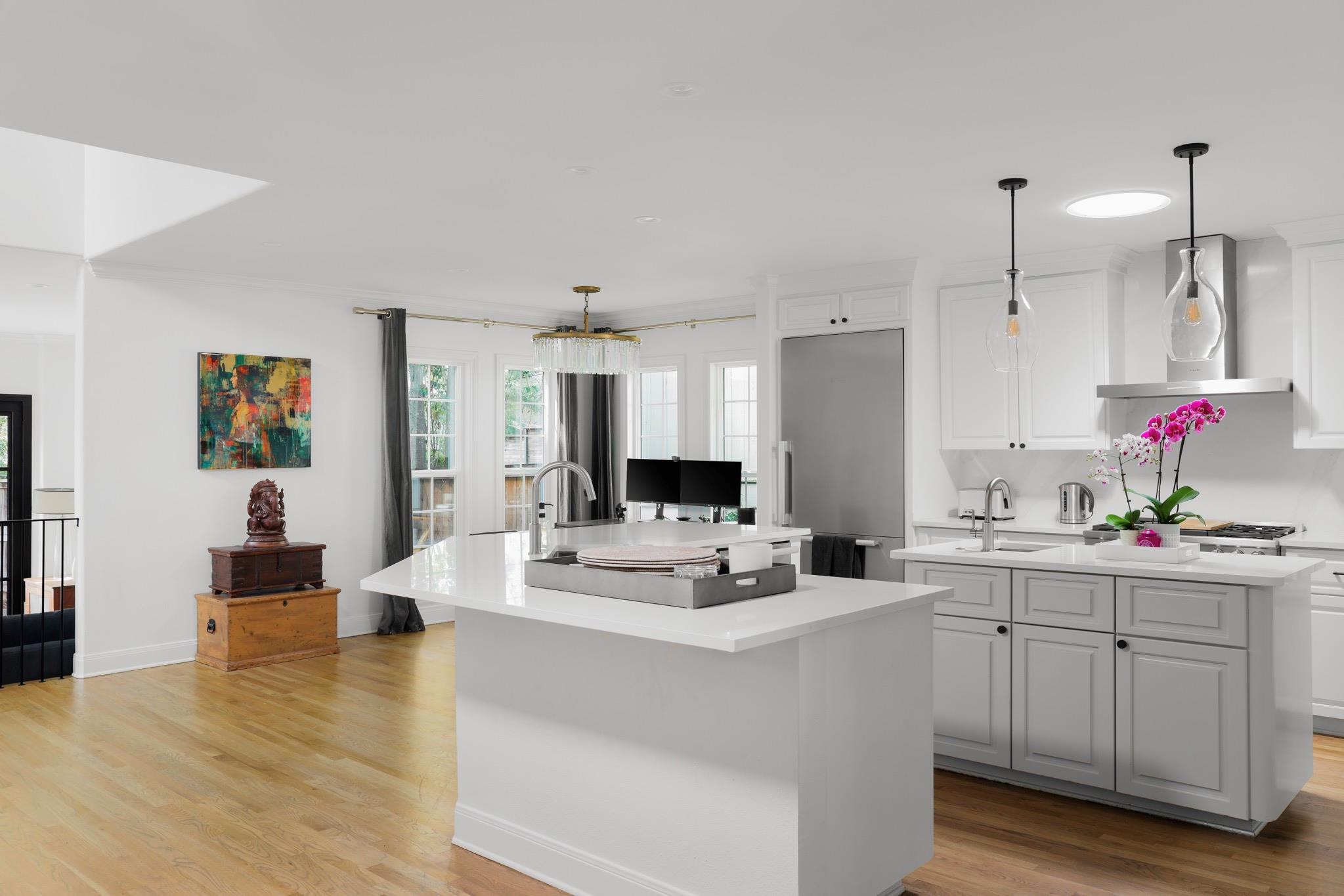 Active
$1,950,000
2803 Bridle Path
Austin, TX, 78703
3 Beds · 3 Baths · 2,737 SF
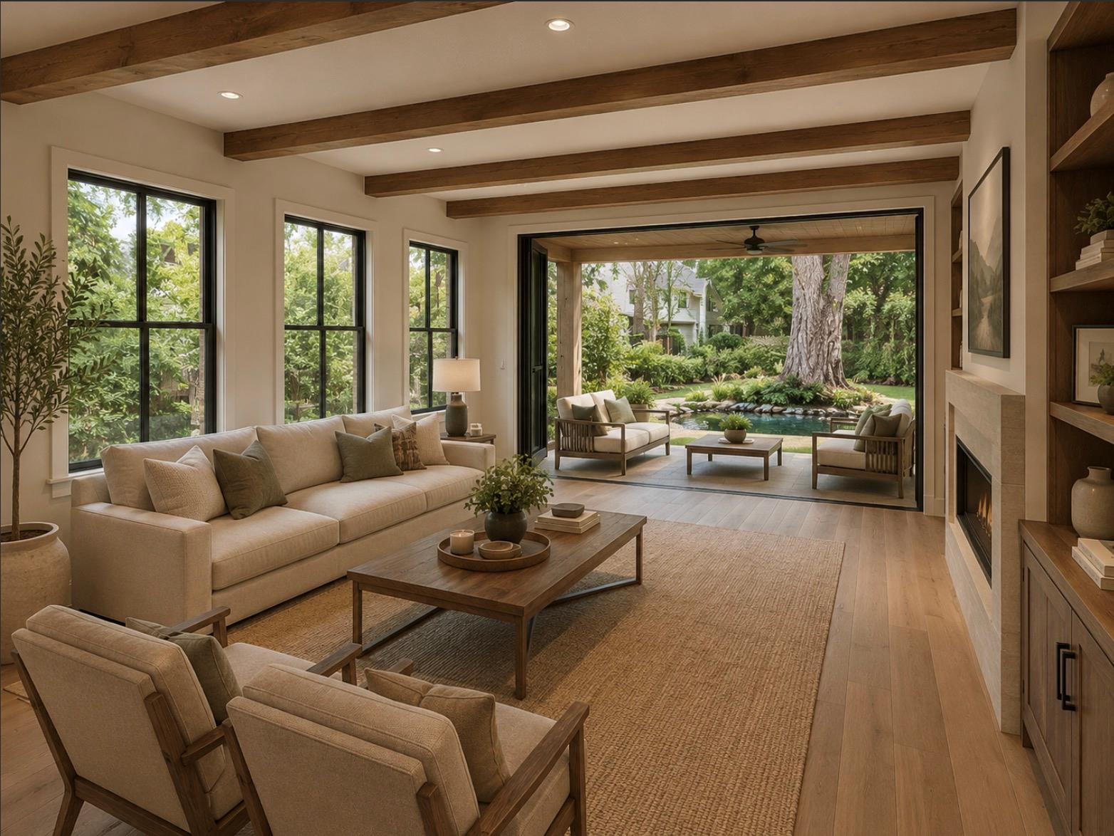 Active
$1,950,000
4603 Avenue C None
Austin, TX, 78751
4 Beds · 6 Baths · 3,508 SF
Listing information is provided by Unlock MLS and is deemed reliable but not guaranteed.
Neighborhoods
The Central Austin neighborhoods buyers ask about most.
Neighborhood
Hyde Park
Austin's first suburb, now its most walkable historic district
View guide →Neighborhood
Clarksville
Cottage streets on the edge of downtown
View guide →Neighborhood
Bryker Woods
Tudor cottages and top-rated elementary
View guide →Neighborhood
Rosedale
Classic bungalows north of campus
View guide →Neighborhood
North Loop
Vintage shops and small-lot living
View guide →Living here
Schools, Dining & Things To Do
Distances are approximate from the center of Central Austin. School attendance zones change — always confirm the assigned campus for a specific address.
Schools
Lee (Sanchez) & Bryker Woods Elementary
≈ 0.5-1.5 miCore central AISD elementaries
Kealing Middle School Magnet
≈ 2 miAISD magnet program
McCallum High School Fine Arts Academy
≈ 1.5 miFine arts magnet campus
Eat & Drink
Julio's & Fresa's
≈ 0.5 miHyde Park and Rosedale neighborhood staples
Épicerie
≈ 1 miRosedale cafe and grocery
The Peached Tortilla
≈ 1.5 miBurnet Road brunch anchor
Things To Do
Shoal Creek Trail
≈ 0.5 miConnects central neighborhoods to downtown
The University of Texas campus
≈ 1.5 miMuseums, sport and performance venues
Ramsey & Shipe Parks
≈ 1 miNeighborhood pools and tennis
Search by neighborhood